Living Heritage
what are the invisible boundaries inside a village, and where do they overlap?
- (role)
- embedded fieldwork · participatory systems mapping
- (period)
- 2019–2020
- (context)
- ambli · ahmedabad · 14 communities
- (status)
- excellence award
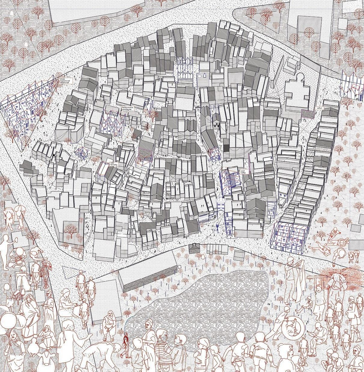 fig.01
Co-design to revive and strengthen collective spatial associations.
Ambli is an urban village on the western edge of Ahmedabad: fourteen communities inside forty thousand square metres, and a set of boundaries between them that no plan records.
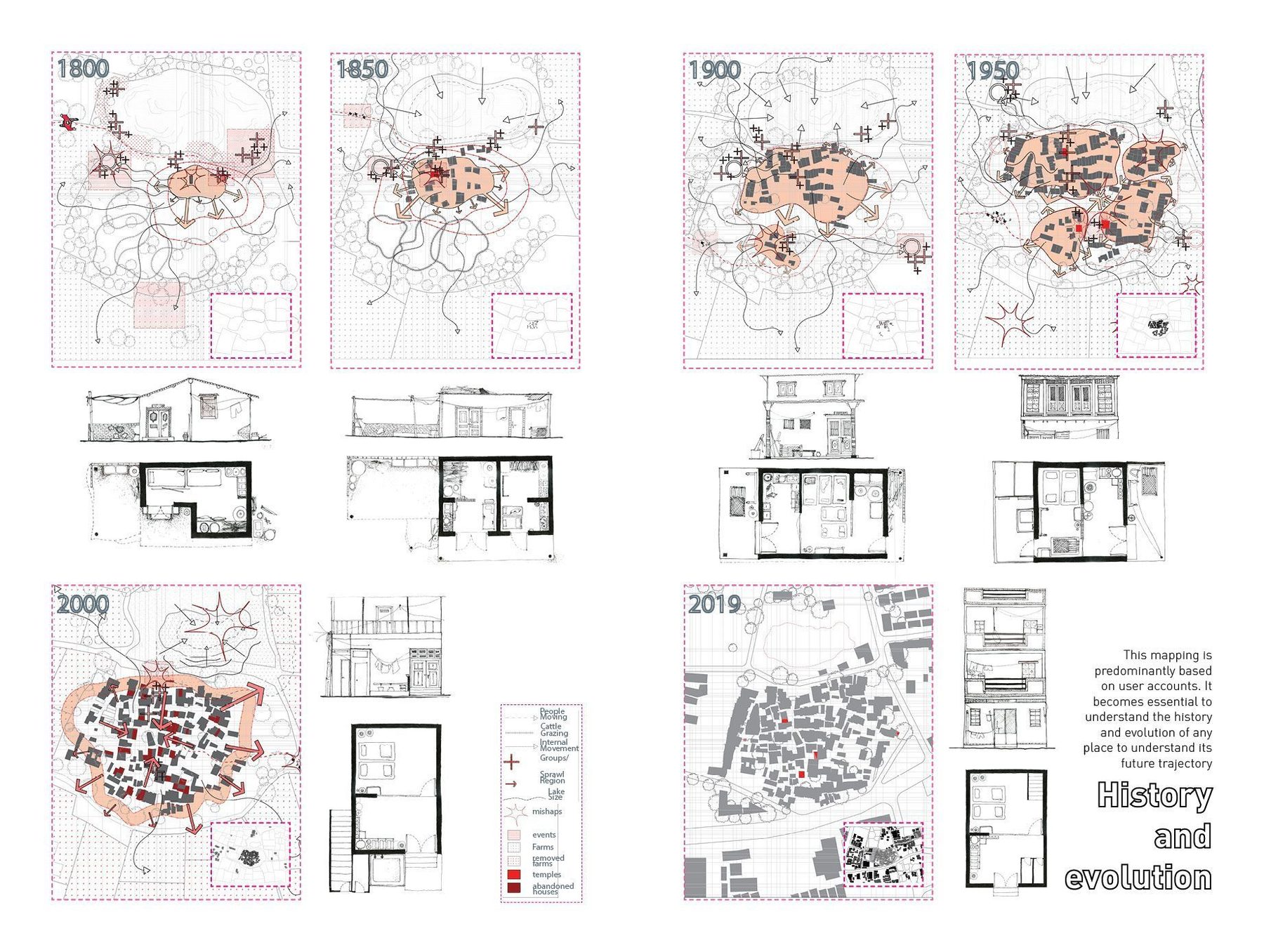 fig.02
The system nobody had mapped
Urban villages inside Indian cities change fast once the city reaches them. Long-time residents move to the new neighbourhoods next door, the care for the old houses and open spaces goes with them, and the fabric decays.
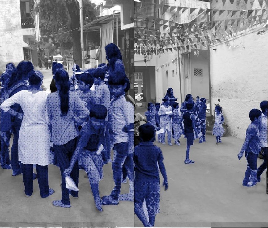 fig.03–06
Access before research
Access came before research. Months inside the settlement, mostly with the children, playing, listening, helping with homework, before proposing anything about it.
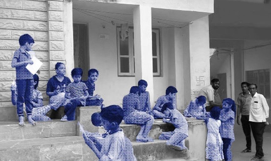 fig.03–06
Months in the village before proposing anything about it.
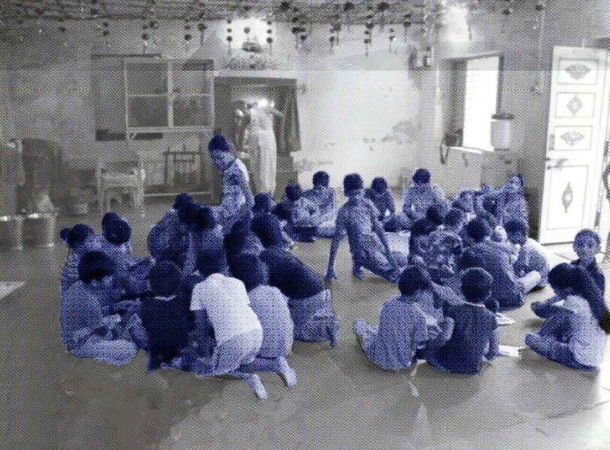 fig.03–06
Months in the village before proposing anything about it.
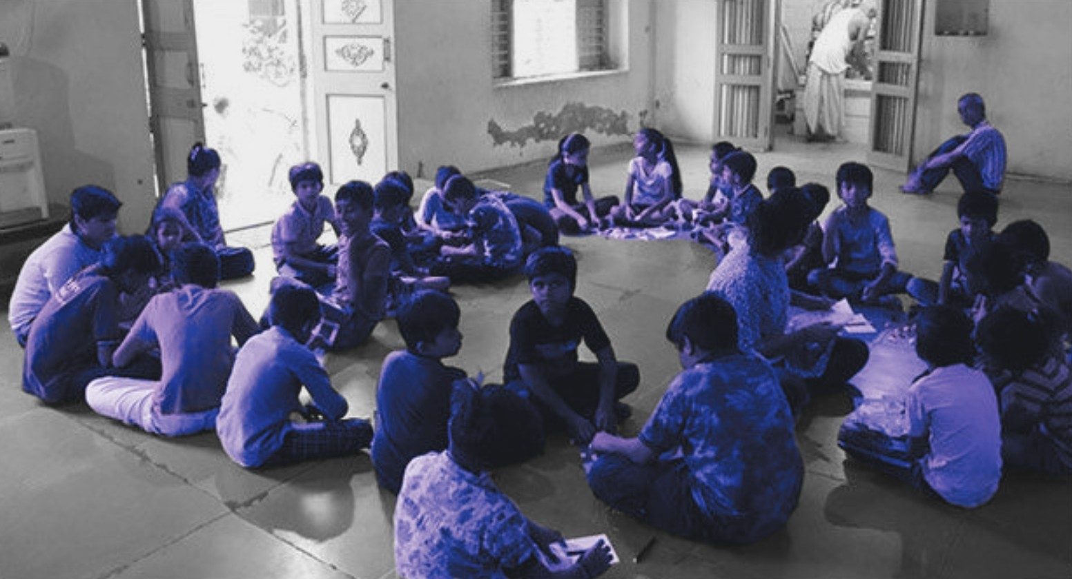 fig.03–06
Months in the village before proposing anything about it.
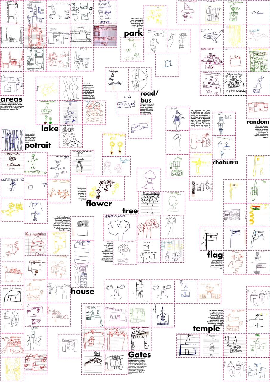 fig.07
Participation as the instrument
How do you survey a boundary system that its own inhabitants will not name? The answer was to ask the people with the least reason to hide it and the most at stake in the outcome.
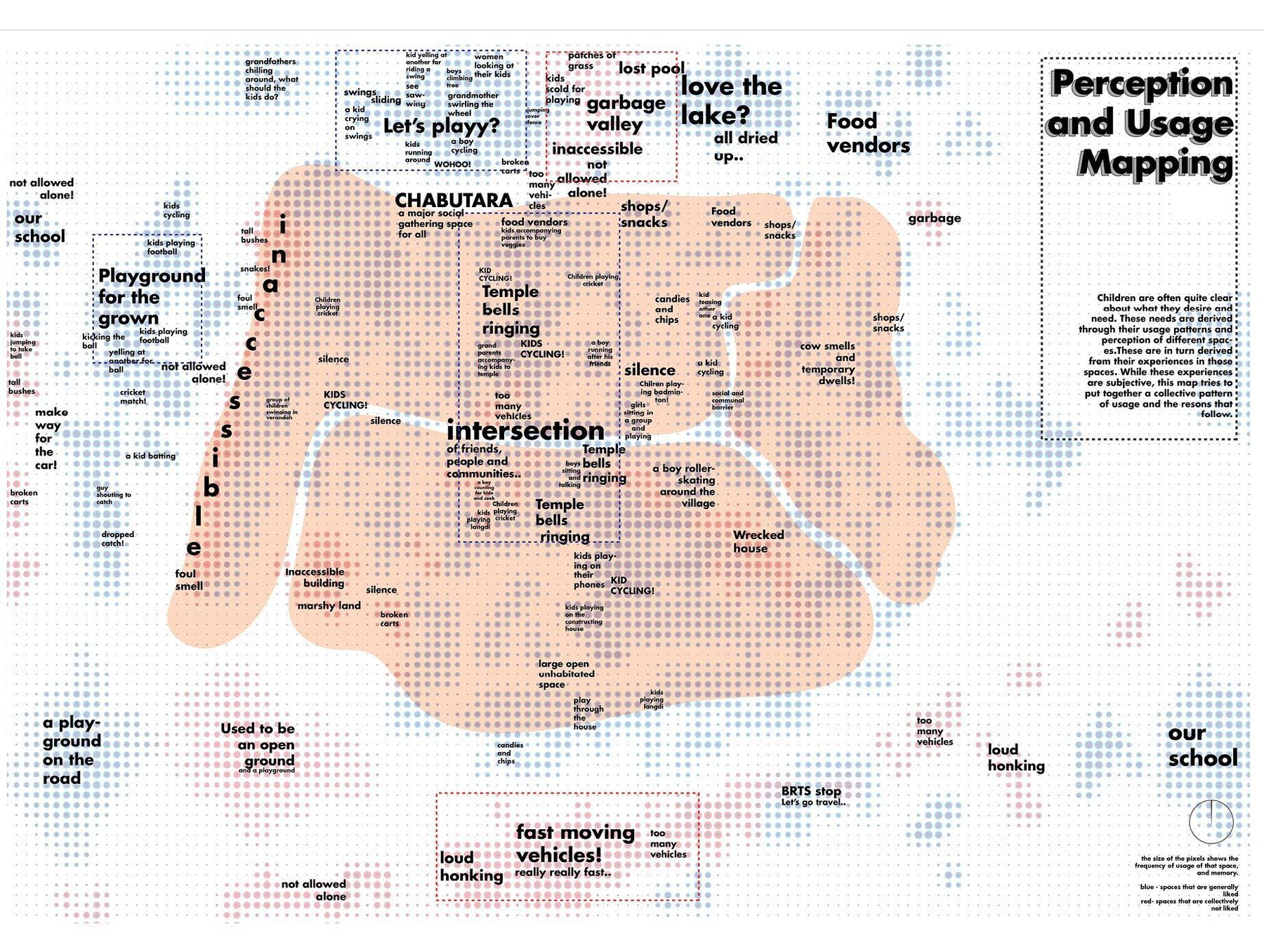 fig.08
The mesh, and where it overlaps
Laid over the community boundaries, the drawings showed the few places claimed by more than one group. The boundaries have degrees: some are walls, some are habits.
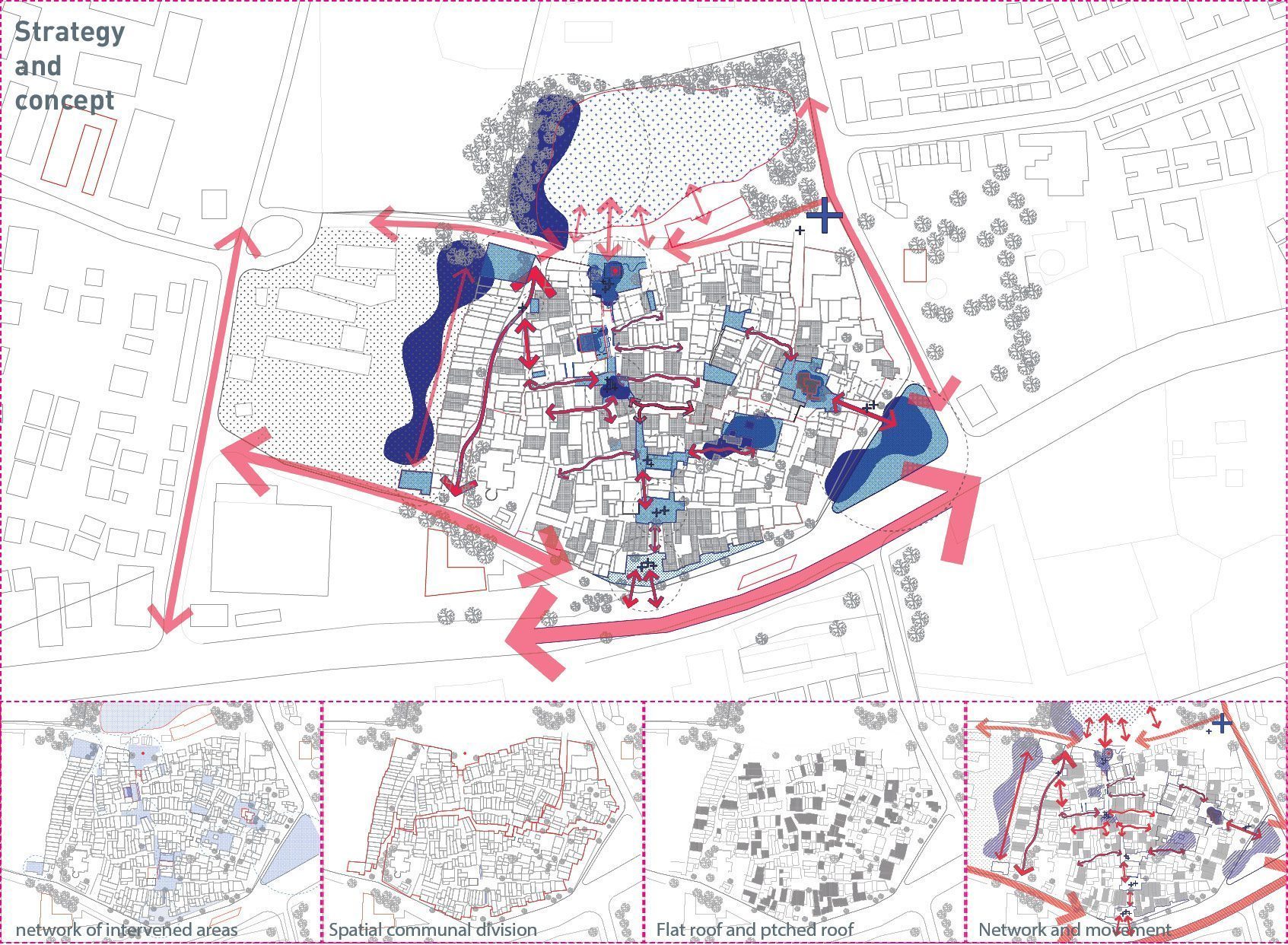 fig.09
Strategy.
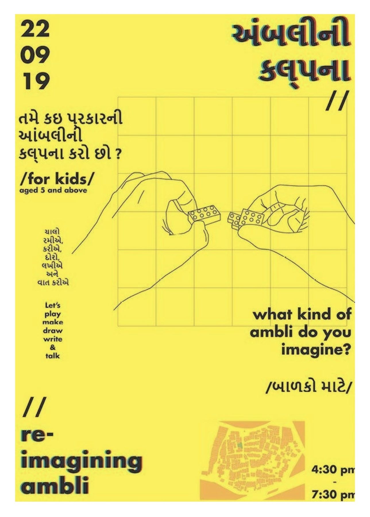 fig.10
Designing into the overlap
Posters went up at ten places around the village, and the children came to the temple hall at the entrance.
 fig.11
Co-design.
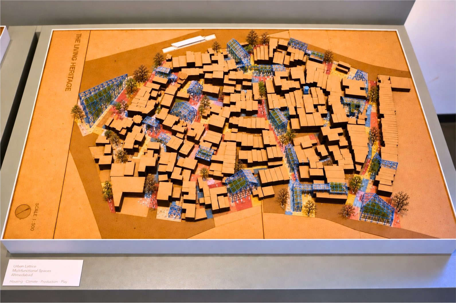 fig.12
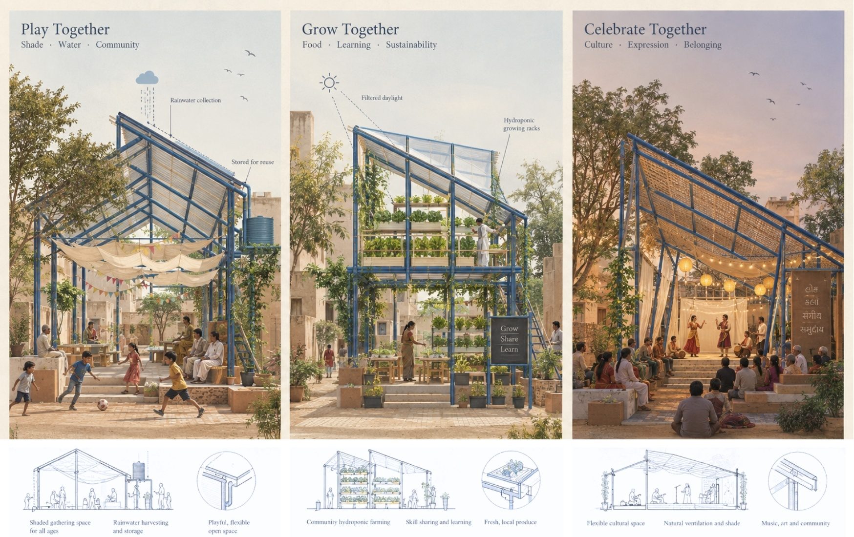 fig.13
The interventions.