what does a house know about its river?
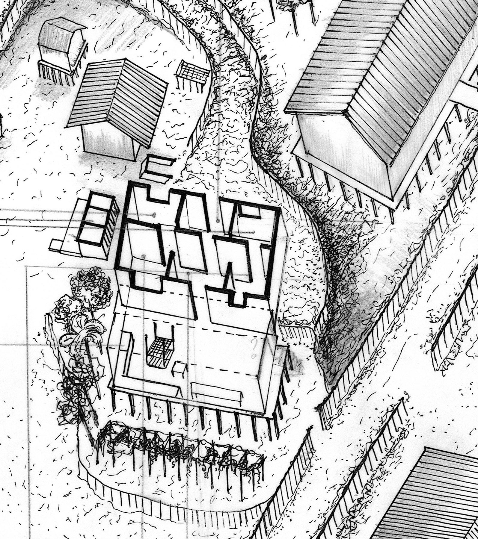
A homestead on stilts, measured and drawn by hand, a winter school documenting culture and settlement on the world's largest river island.
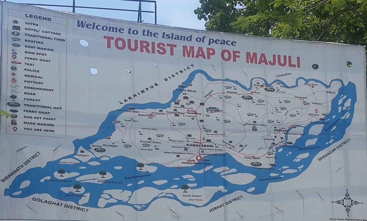
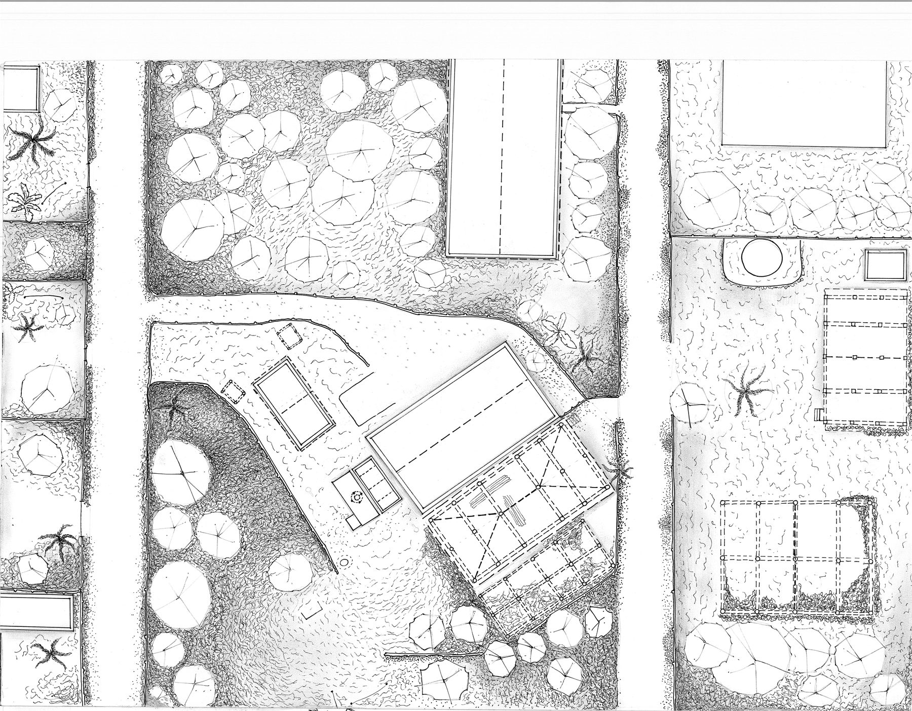
Majuli sits in the Brahmaputra in upper Assam, the largest river island in the world and one that the river takes a little of every year. Its villages are Mising and Assamese, its monasteries are the neo-Vaishnavite satras, and its houses stand on stilts because the flood is not an event but a season. The winter school documented culture and human settlement across the island; my part was one homestead in Garmur, measured on foot and drawn by hand: a plan of the compound and an axonometric of the house, its stilts, its kitchen, its verandah and its roofs.
- (role)
- winter school · fieldwork · measured drawing
- (period)
- december 2017 · two weeks
- (context)
- garmur · majuli island · assam · cept winter school
- (status)
- documentation
An island the river edits
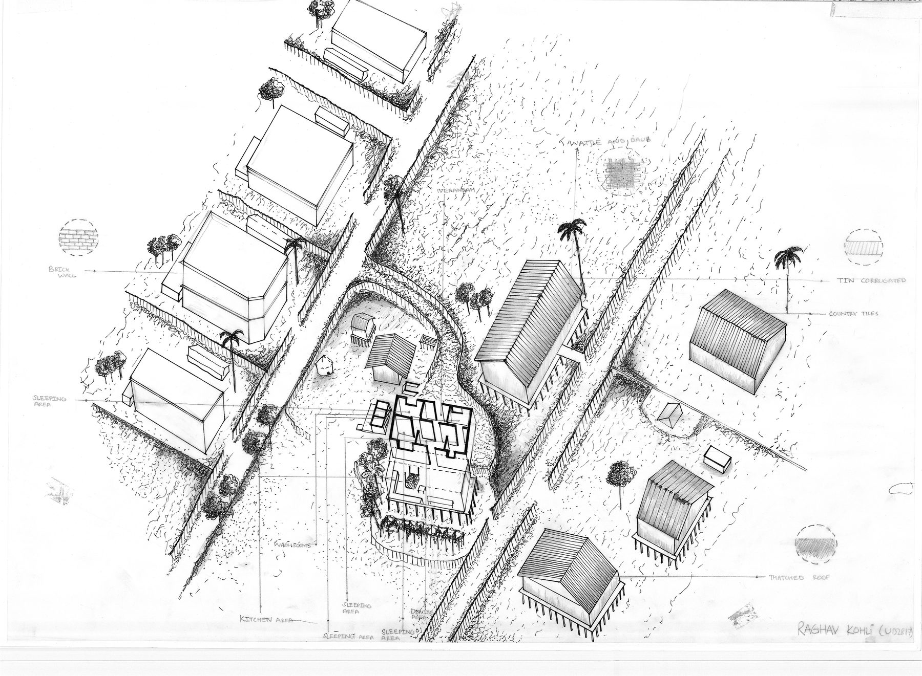
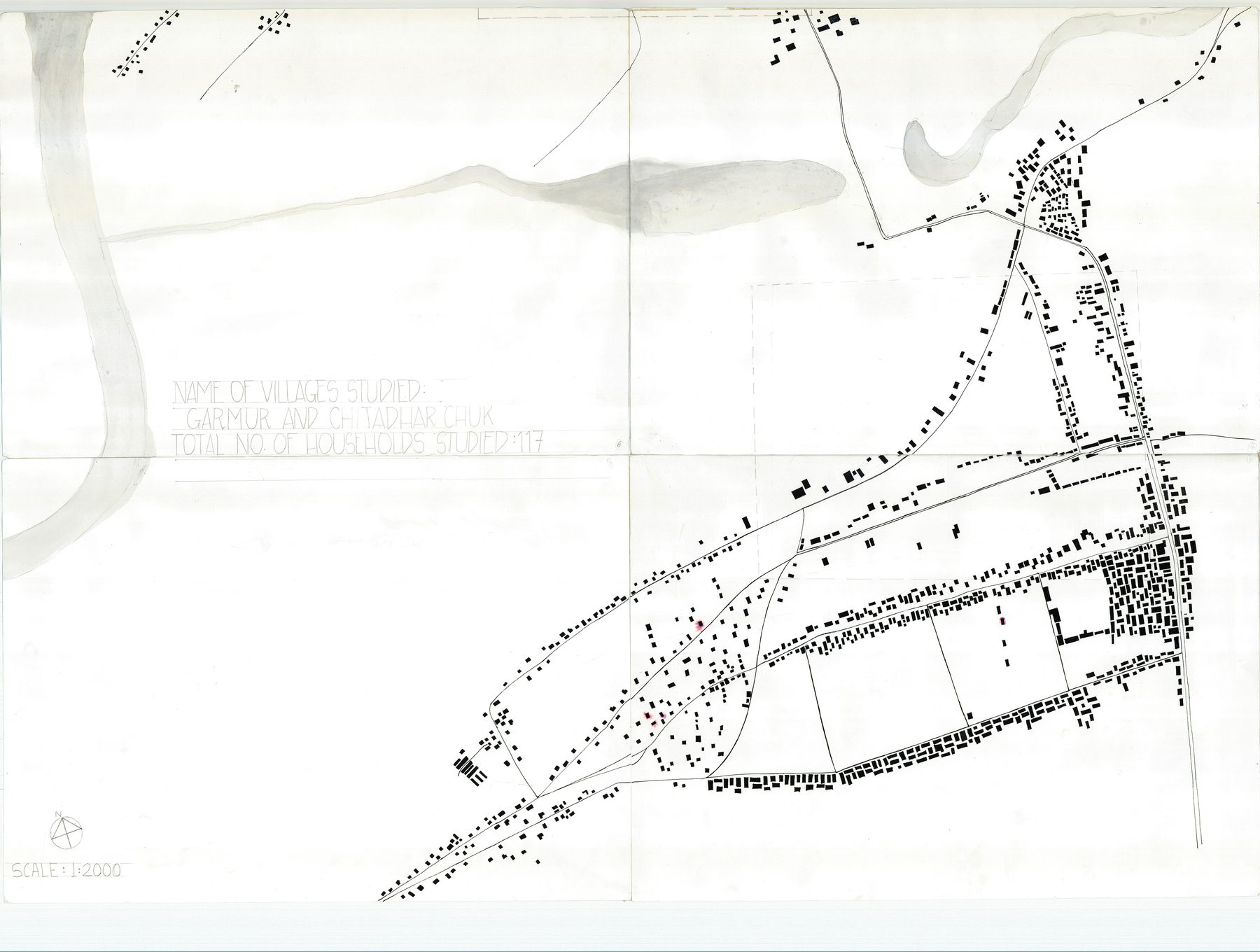
Majuli is a river island of about 350 square kilometres in the Brahmaputra, and shrinking: the river has taken more than half of it in a century and takes a little more each monsoon. What it holds is unusual: the satras, monastic institutions of neo-Vaishnavite Assam, some of them four centuries old; Mising villages of stilt houses; mask-making, boat-building, pottery without a wheel. The winter school spent two weeks documenting the island's culture and its settlement: the satras and their key plans, activity maps traced along the lanes, and one household per student, measured.
A plan of what a household keeps
Mine was in Garmur. A compound is a set of things a household keeps at the right distances from each other. The house on its platform, its verandah toward the lane. The granary on its own stilts, the bathing place and the water, the kitchen garden, the cattle. The boundary is bamboo and areca, and the lane is the neighbours'. The plan is drawn as it was paced, and every tree that shades something is in it.
Chang ghar, a floor above the flood
The chang ghar is a house on a floor above the flood: a bamboo-and-timber platform on stilts about a metre and a half up, the sleeping areas and the kitchen in a row along it, a verandah where most of the day happens, a ladder. The materials are keyed at the edge of the drawing: brick where a wall has been rebuilt, corrugated tin and country tiles over the newer rooms, thatch over the older. The height of the stilts is the height the water has reached, so the section is also a flood record, and the drawing was made to keep that number.